Finding one's way around New York City can be confusing for visitors and even residents. Now, with Michael Bierut's wayfinding system, walking and exploring is encouraged through clear, simple and easy signage.
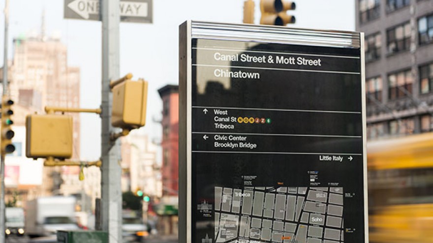
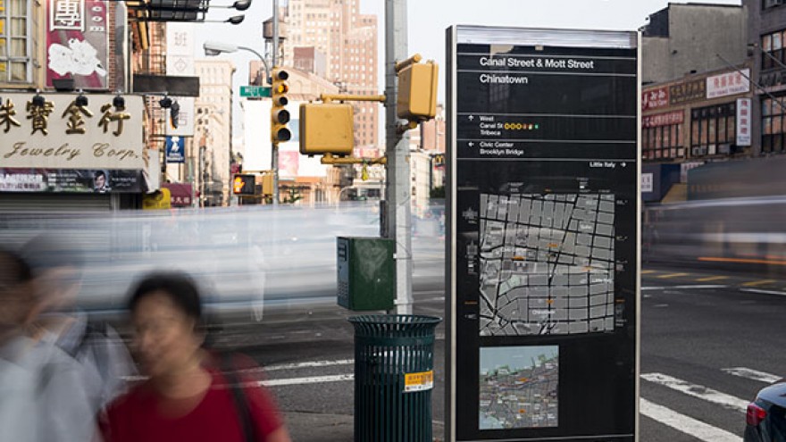
Pentagram's Michael Bierut worked closely alongside the New York City Department of Transport to introduce WalkNYC, a new programme of pedestrian maps that makes it easier to navigate the city streets.
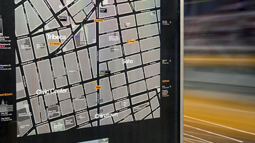
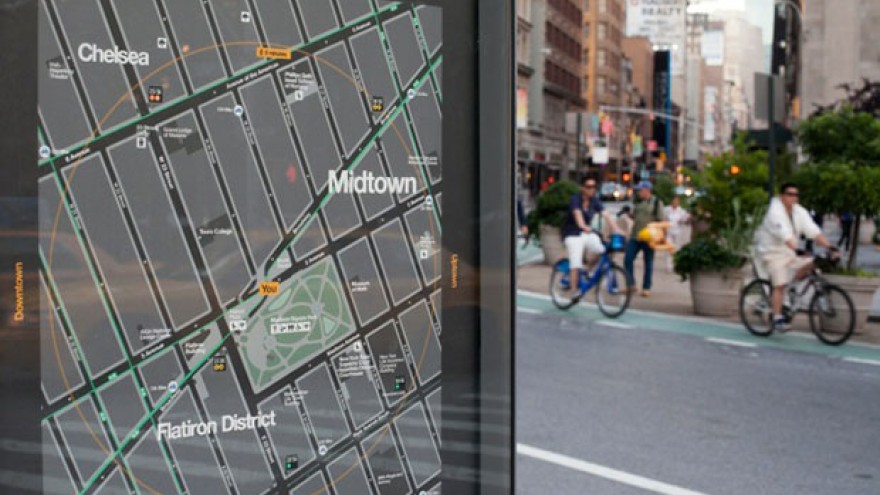
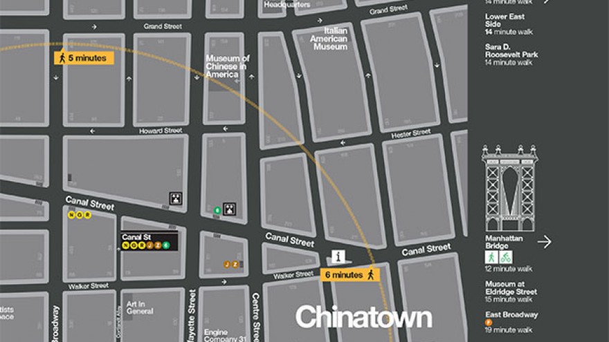
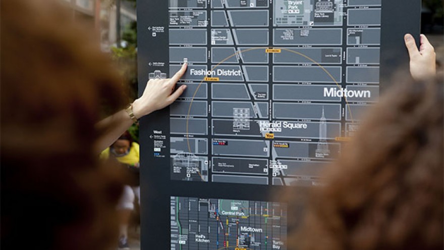
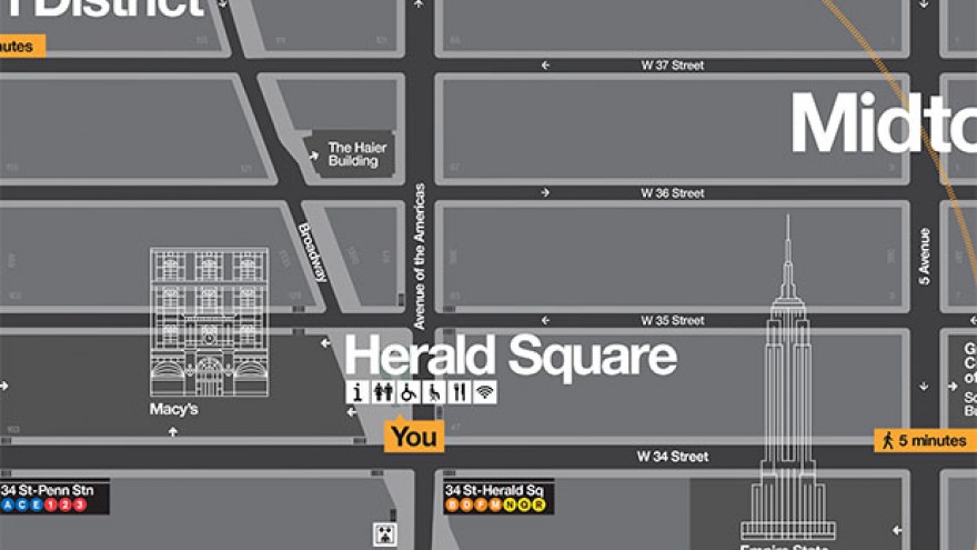
Each side of the 2.5m tall kiosks display a large map of the streets within a 5-minute walking distance and a map showing the area in relation to a larger section of the city. The user-friendly orientation of the WalkNYC maps uses “heads-up mapping,” in which north, south, east or west is rotated to correspond with the direction the user is facing. Bierut further created a selection of icons revealing iconic buildings and popular city destinations.
The maps are designed to encourage people to walk, cycle and use public transport. Each signage system features local streets, major landmarks and destinations, as well as bycicle lanes. They will be installed near subway stations, business districts and high-traffic pedestrian areas such as subway stations and bus stops.

